Shadow
About the Shadow Project
The Shadow Project is 100% owned by Geiger Energy with no underlying royalties. Shadow exhibits all similar structural and geophysical features recognized amongst the “Best-of-the-Best class” of Athabasca high-grade uranium deposits, such as the McArthur River and Arrow deposits.
Location and Infrastructure
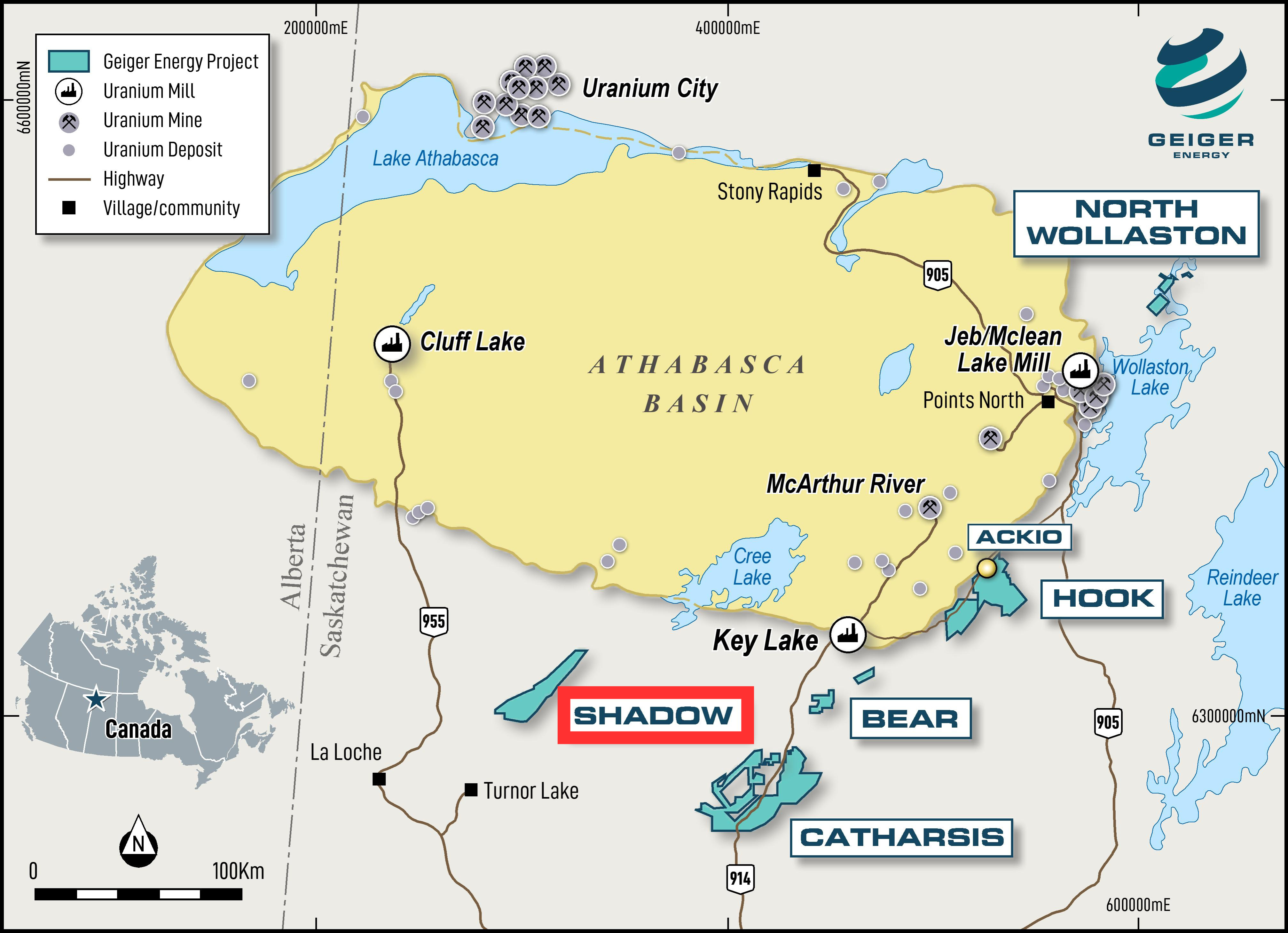
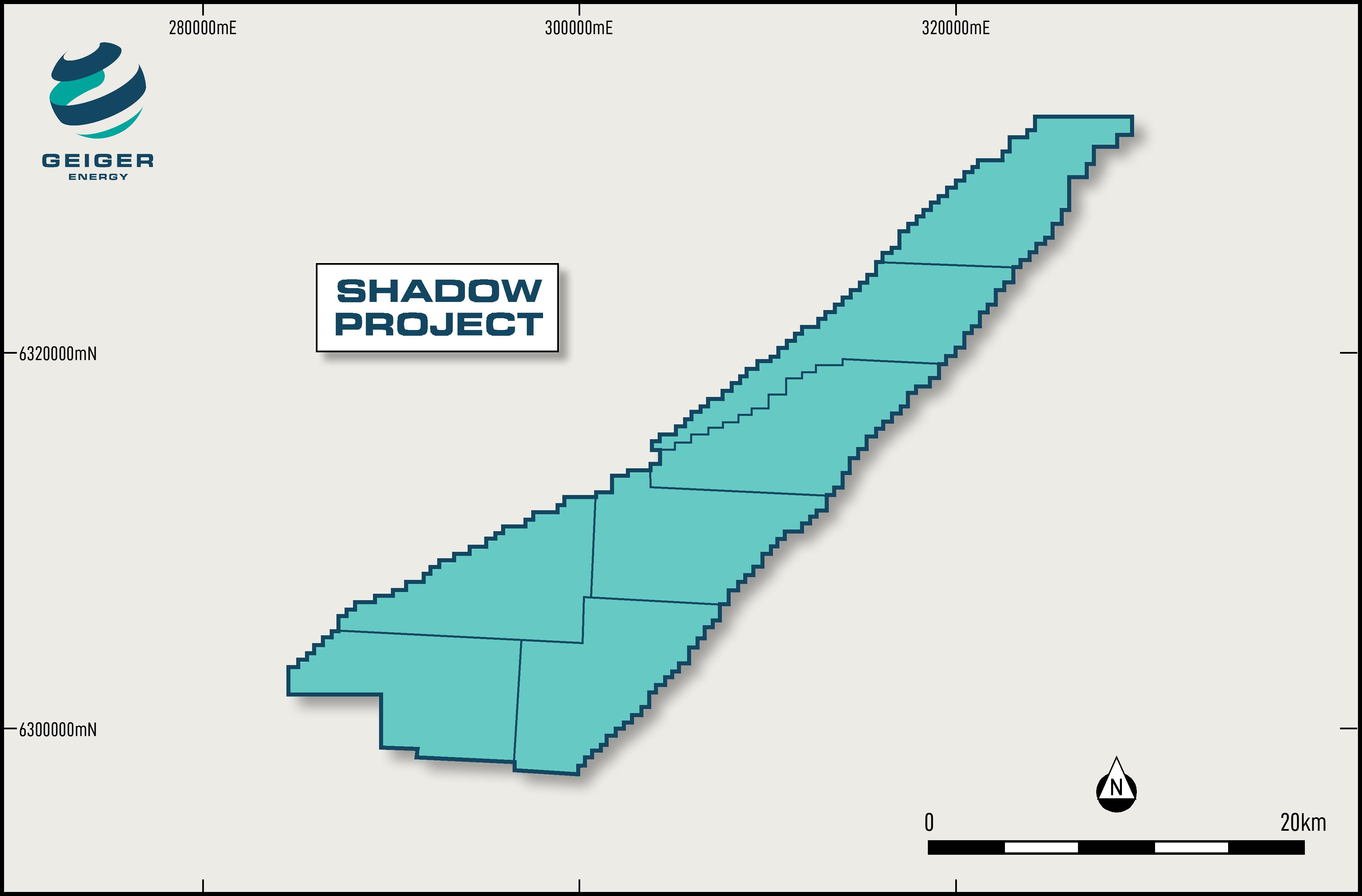
Shadow is located on one of the largest structural trends observed in Northern Saskatchewan, the Virgin River Shear Zone, which hosts other uranium deposits, most notably Cameco’s Centennial uranium deposit. The property encompasses ~30,000 hectares along the Virgin River Shear Zone 30 km south of the Athabasca Basin margin.
The Property is located 22 km east of all season highway 955 and a powerline, 140 km west of the Key Lake uranium mill, and 100 km southeast of the Triple R and Arrow high-grade uranium deposits.
Property Geology
Shadow hosts a massive and deep-rooted structure and is an excellent host for basement-hosted deposits. It is similar geologically to the Uranium City area, Eagle Point system, Arrow system and Key Lake
The structural system features include;
- A structure along the preferred geological fabric (i.e., following NE-SW orientations)
- Large enough to have undergone structural re-activation over hundreds of millions of years, such as the Virgin River Shear Zone (“VRSZ”), one of the most prominent structural corridors in northern Saskatchewan
- A deep-rooted system which allows for more fluid migration (uranium is highly mobile under the proper fluid conditions)
- Preferred NW-SE oriented structural traps and/or structural influence
- The correct location along a structural system; not where it pinches (too constricting), but rather where the rocks open up and dilate. Dilation = porosity, which increases fluid migration, and more fluids carrying uranium means more chances for uranium deposit formation