Geophysics
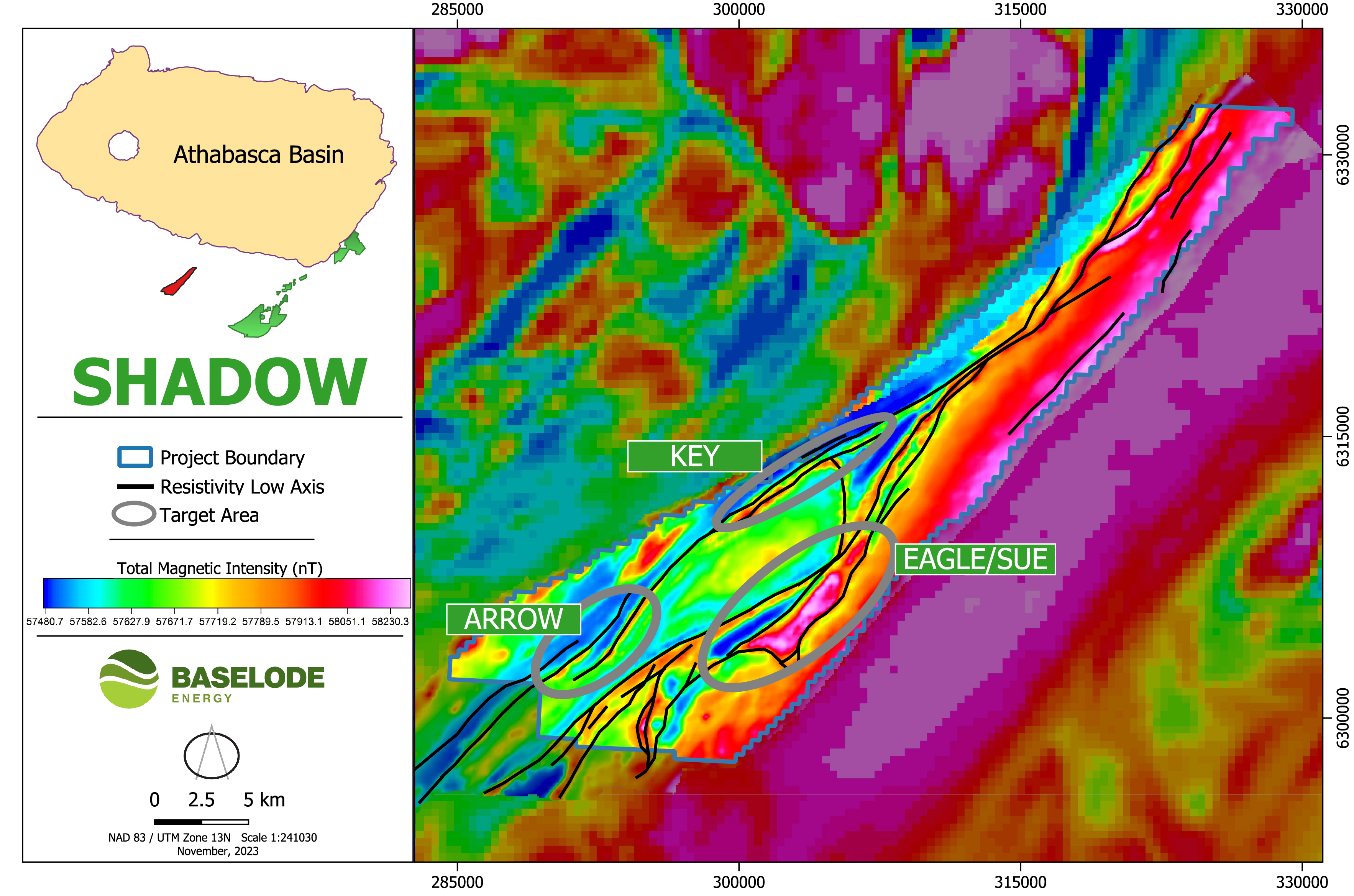
A >10 km-long airborne radiometric anomaly has been recognized on the Property. This feature correlates well with a specific lithological unit immediately adjacent to the VRSZ. Possible explanations for the radiometric anomaly include;
- a large boulder field,
- a significant amount of bedrock exposures which contain elevated background concentrations of uranium,
- or possibly even high-grade uranium veins.


